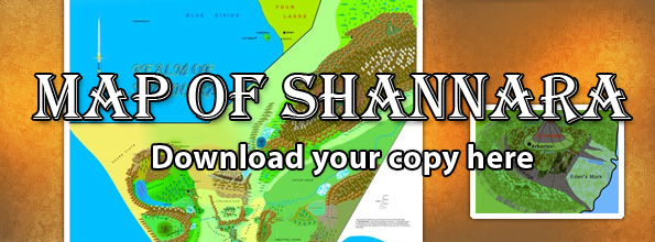
Travelling information from the book.
| PAGE | SUBJECT | JARKA RUUS Summer | Mileage |
| 93 | Patch Run | Patch Run on south shore? of Rainbow Lake | |
| 105 | Patch Run | near mouth of Rhapahalladron. | |
| 130 | Dragons teeth | A gap in mts to SW of Paranor | |
| 144 | Dragons teeth | mts to west, south and east of Paranor. | |
| 145 | Paranor | built on Volcanic fissure. | |
| 200 | Emburen | 1.25 days ride west through forest from Emburen to Rill song. | |
| 201 | Arborlon | 1 day in barge south to Arborlon, 3 more days to Innisbore. Slow current. | |
| 202 | Innisbore | From mouth of river far shore is not visible. | |
| 203 | Syioned | town 2ml north of mouth of lake on eastern bank. | |
| 222 | Syioned | Fly east (boat), then north out of Westland, then east across Streleheim plain. | |
| Dragons teeth west of Paranor and form a gap with Knife Edge mts. | |||
| 234 | Jannison pass | 3 days to get to Jannison pass from Syioned. Pass in foothills. | |
| 236 | Malg Swamp | Rolling Foothills along east of Malg Swamp. River and lakes. | |
| 239 | Lazareen | 1 day sail from Jannison pass to Lazareen. | |
| 243 | Anatcherae | Port on SW shore of Lazareen. Charnals to East, Knife Edge mts to west. Mt corridor to north? | |
| 244 | Lazareen | Mts on banks of lake to south and east. Rivers fed by glaciers. Slate grey colour. | |
| Knife edge and Charnals form corridor. Lazareen up against Charnals south and east. | |||
| 266 | Valley of Shale | 3 days walk from Paranor to break in Dragons teeth. Mouth of pass to valley of shale. | |
| 302 | Slags | Marshland on NE corner of Lake. Swamp & flodplain, Cyprus and Cedar. | |
| 303 | Lazareen | Estimate 20 mls across. | |
| 312 | Slags | 10 ml wide | |
| 329 | Slags | Lagoon at middle of Slags. Lagoon 2 ml wide. | |
| 376 | Slags | Lagoon to edge of Slags in 2 days, heading NE into foothills. | 20 |
| 379 | Foothills | Rivers and lakes in low foothills. Runoff from mts. | |
| 387 | Foothills | One day trek to campsite high in foothills. |
